Monday, July 18, 2022

PCT Day 64

 <--PREVIOUS                                                                                                             NEXT--> 

PCT Day 64, 15 July 2022 (Friday)

"Finding A Place For Nemo"


Start Location:

Wilderness Campsite Near Phipps Creek

Destination:

Wilderness Campsite Near American River Headwaters

PCT Miles Day 64:

26.4

Cum PCT Miles:

1,139.0

Non-PCT Miles Day 64:

0

Cum All Miles:

1224.8

PCT Miles Remaining:

1,513.6


Elevation Gain Day 64:

4,345

Cum Elevation Gain:

203,850


Today was kind of a non-obvious interesting day.  Except for finally getting very good views of Lake Tahoe from high up, there was nothing that was extremely notable.  However, there was a good variety of scenery and terrain on the trail today.  And, except for the last couple of miles, the ascents and descents were mostly moderate with good trail tread.

It was also pretty windy at times today, which was okay because it made it feel cooler on an otherwise very warm day.  And, to keep the recent trend going, there was more good trail magic today.  There were a couple of guys a little older than me that were parked at Barker Pass.  They had all kinds of good stuff: bananas, apples, fruit cups, soda, Gatorade, chips, brownie bites, and more.  One of the guys had attempted a thru-hike of the PCT over 40 years ago, so he is still very attached to the PCT culture.

Today ended in an unusual way for me.  I typically have not had much of a problem finding a good tent site around the time that I want to stop hiking.  But today, the two places on trail where I thought I would find a place to camp, all the good tent sites were taken.  It was getting somewhat late in the day, and the next few miles were all fairly steep uphill, and the next designated tent sites were about 2.5 miles away. And there was no way to know whether those tent sites would be available.  Often, though, you can find unofficial (dispersed) tent sites.  And that’s what I found today.  After going up the trail another 1.5 miles, I spotted a decent looking site right off the trail, and that’s where I set up my Nemo tent.


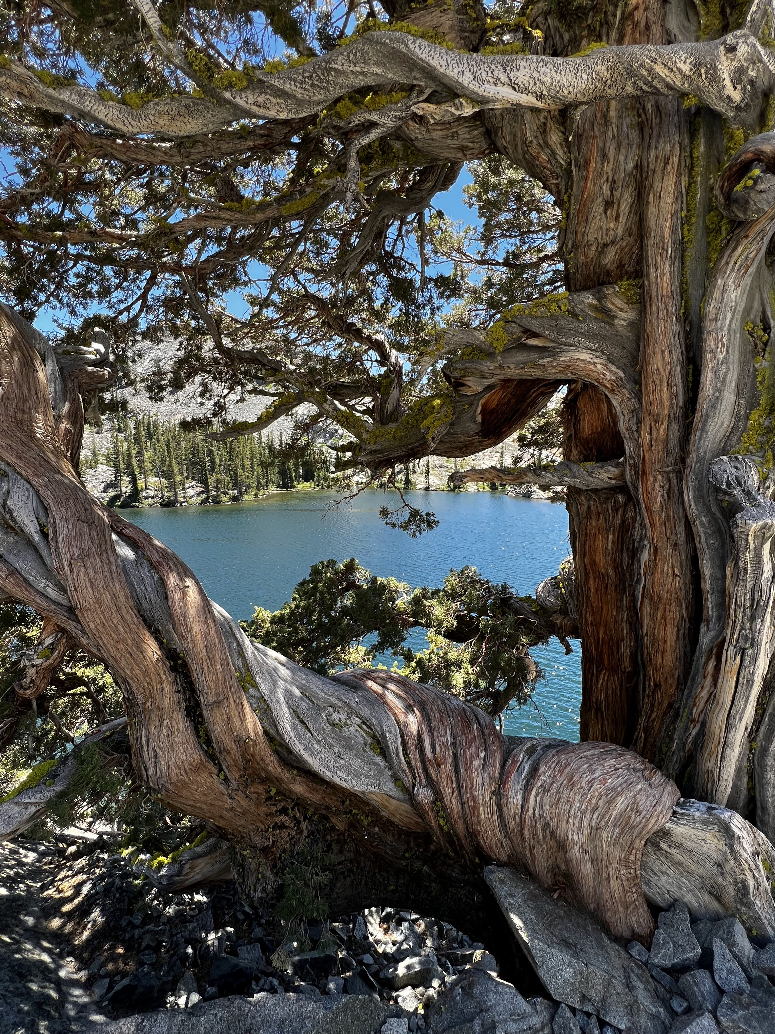
Looking out over Desolation Wilderness

Finally, I can see Lake Tahoe from the trail, no smoke today

And a better view of Lake Tahoe

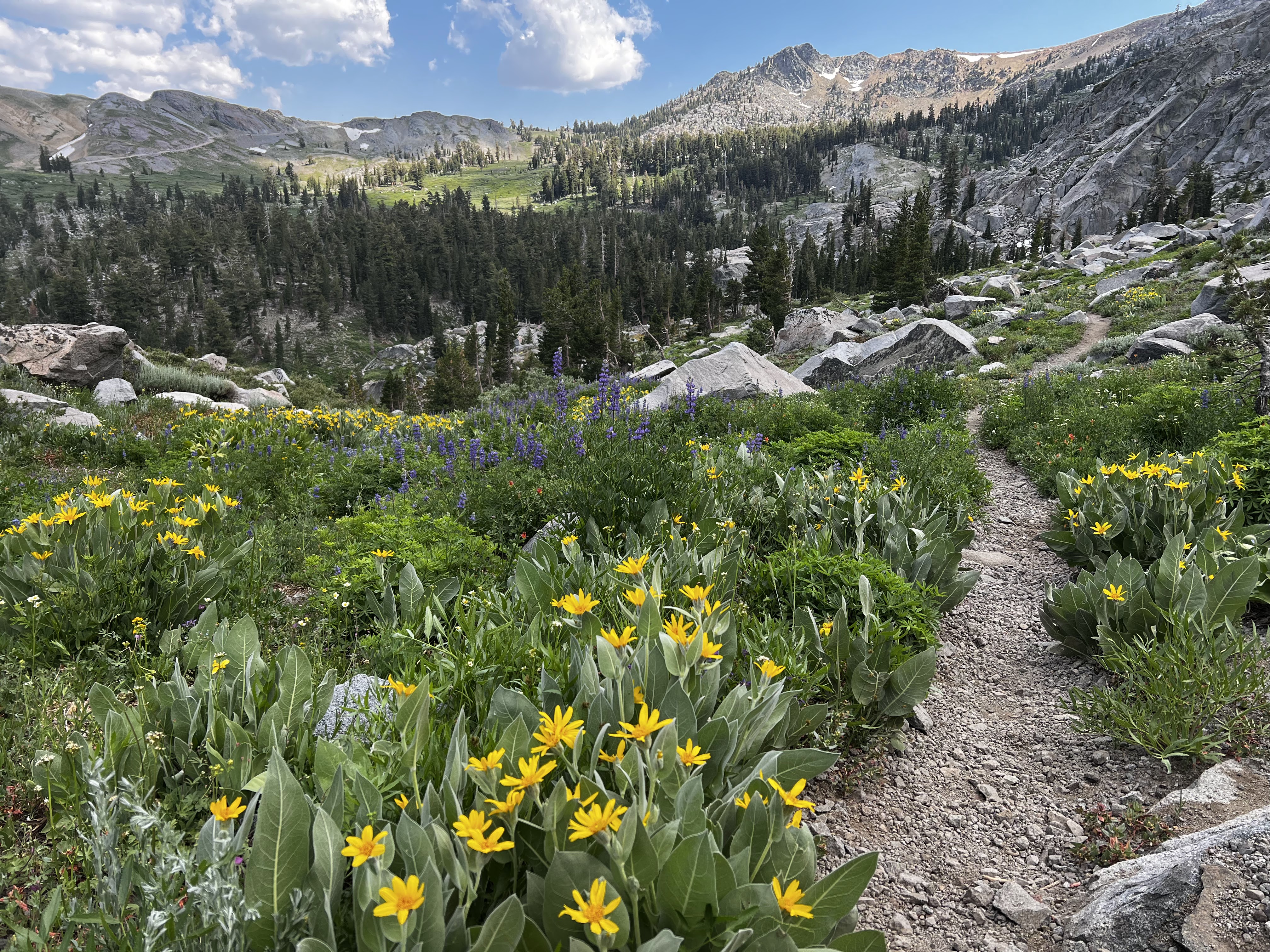
Typical trail today in the Granite Chief Wilderness


And an even better view of Lake Tahoe

Pretty nice trail this afternoon

Alpine Meadows ski area boundary, but hiking is ok

 <--PREVIOUS                                                                                                             NEXT--> 

PCT Day 63

<--PREVIOUS                                                                                                             NEXT--> 

PCT Day 63, 14 July 2022 (Thursday)

“Aloha, Aloha, Alohaaa…”

(Puzzle enthusiasts should be able to figure out this title)


Start Location:

South Lake Tahoe

Destination:

Wilderness Campsite Near Phipps Creek

PCT Miles Day 63:

21.8

Cum PCT Miles:

1,112.6

Non-PCT Miles Day 63:

0.1

Cum All Miles:

1198.4

PCT Miles Remaining:

1,540.0


Elevation Gain Day 63:

3,892

Cum Elevation Gain:

199,505


I got another good night's sleep and had the classic American breakfast of lactose-free chocolate milk and a teriyaki chicken rice bowl.  Malcolm, another trail angel that I arranged a ride with, picked me up right on time a little before 8 AM, and I was back on the trail by 8:20 AM.  Malcolm has hiked the Appalachian Trail before, so understands what long-distance hiking is all about.

Soon I was hiking by Lower and Upper Echo Lakes.  There is a chalet and store there that are popular with hikers.  This is also a very popular starting place for day hikers and short-trip backpackers (AKA recreational hikers).  This is the area where the Desolation Wilderness starts.  Again, it is very popular with the locals.  There are many scenic lakes, and good places to camp.  By far, the most scenic lake was Aloha Lake.  This lake is on a par with Thousand Island Lake.  And just like Thousand Island Lake, it is day-hikeable.

I am glad I got my new shoes.  There was a lot of hiking on rocks today, and it would have been a bit painful to do that in my old, worn-out shoes.

One thing I don’t believe I’ve mentioned yet in any of my posts is mosquitoes.  This is because they have generally not been that bad.  It’s not that there haven’t been any, but they just haven’t been as bad as they can be in the Sierra this time of year.  But today, especially the last 5 miles or so, they were the worst I’ve experienced on this hike.

Oh yeah, I saw my first bear of this hike.  It was a large black bear, with brown fur, laying by the side of the highway while driving back to the trail.  We drove by it too quickly, though, to get a photo.


Had to take a picture of that sign

Blue grouse

Upper and Lower Echo Lakes

Aloha Lake

Waterfall feeding Heather Lake


Heather Lake

More Heather Lake

Looking back at Dick's Pass

Dick's Lake from Dick's Pass

Middle Velma Lake


<--PREVIOUS                                                                                                             NEXT--> 

Wednesday, July 13, 2022

PCT Day 62

   <--PREVIOUS                                                                                                             NEXT--> 

PCT Day 62, 13 July 2022 (Wednesday)

"More Free Rides"


Start Location:

South Lake Tahoe

Destination:

South Lake Tahoe

PCT Miles Day 62:

0

Cum PCT Miles:

1,090.8

Non-PCT Miles Day 62:

0

Cum All Miles:

1176.5

PCT Miles Remaining:

1,561.8


Elevation Gain Day 62:

0

Cum Elevation Gain:

195,613


Today I finished my town errands and took the free Tahoe bus to the El Dorado County Library, which just happens to be right across the street from Lake Tahoe itself.  Not only do I get to use the computer at the library, but I also get to see the lake--it would be kind of a shame to spend two nights in South Lake Tahoe and not even go down to the lake.

I made my next lodging reservation (Sierra City) and arranged for a ride back to the trail for tomorrow morning.  The blog is now up to date, so I'm in good shape.


Tahoe, now that's a big mountain lake

 <--PREVIOUS                                                                                                             NEXT--> 

PCT Day 61

 <--PREVIOUS                                                                                                             NEXT--> 

PCT Day 61, 12 July 2022 (Tuesday)

"Happy Feet"


Start Location:

Wilderness Campsite At Upper Truckee River

Destination:

South Lake Tahoe

PCT Miles Day 61:

11.6

Cum PCT Miles:

1,090.8

Non-PCT Miles Day 61:

0

Cum All Miles:

1176.5

PCT Miles Remaining:

1,561.8


Elevation Gain Day 61:

1,449

Cum Elevation Gain:

195,613


Today was really just all about making the way down the trail to Hwy 50, and then trying to get a ride into South Lake Tahoe.  Just to prove that there are few easy days on trail, today's trail was definitely not a piece of cake, though it was relatively short.  The last couple miles were walking through the burn area from last year's fire in this area, and it was pretty devastating.

At Hwy 50, a list of locals who provide rides was posted, but another hiker and I decided to try to just hitch.  It took about 15 minutes, with many cars whizzing by, but finally we got a ride from a couple in a Jeep who were just dropping off another couple of hikers that were going back to the trail from town.  The trail provides again.

After getting to my motel, I was glad to see my order from REI had been delivered to the motel.  In that box was something very important, a new pair of shoes.  My last new pair was in Tehachapi about a month ago at mile 566.4.  While my old shoes have "only" about 524 official trail miles on them, in actuality, they probably have well over 600 miles with all the side trail and walking around miles included.  And these shoes have covered a lot of ground: the entire Southern Sierra, including Mt. Whitney, Forester Pass, many other high passes, dozens of snow patches, literally hundreds of stream, creek, and river crossings, more talus, scree, and other sharp, jagged rocks than I want to remember, and much more.  It's definitely time for new shoes, I'm sure my feet will agree.

The rest of the day was just doing usual town errands, and I did get a new pair of convertible/zip-off hiking pants at a local sports store, Blue Zone Sports.  The Columbia pants I've been wearing just kept failing.  The material, except the cheap mesh pockets, was actually good, but the sewing workmanship was just deplorably bad.  I just couldn't trust wearing these pants anymore when they could, literally, fall apart at the seams at any time.  The new pair are Kuhl, a respected brand that, hopefully, will last the rest of the hike.  BTW, I couldn't believe it, but the size that fit me best was 30; I haven't worn that size since probably college.


Showers Lake


The PCT and TRT share the same trail for a while

 
 <--PREVIOUS                                                                                                             NEXT--> 

PCT Day 60

   <--PREVIOUS                                                                                                             NEXT--> 

PCT Day 60, 11 July 2022 (Monday)

"Spaghetti Dinner With Legend"


Start Location:

Wilderness Campsite At Pennsylvania Creek

Destination:

Wilderness Campsite At Upper Truckee River

PCT Miles Day 60:

24.2

Cum PCT Miles:

1,079.2

Non-PCT Miles Day 60:

0.9

Cum All Miles:

1164.9

PCT Miles Remaining:

1,573.4


Elevation Gain Day 60:

4,518

Cum Elevation Gain:

194,164


Today was almost a repeat of yesterday, nice varied scenery, but nothing that was quite spectacular.  It was also very similar mileage and elevation gain.  The last two days, though, were deceptively tough; almost 50 miles and over 8,000 ft. of elevation gain.

It was good, though, to get all those miles in.  My original plan was for tomorrow to be a very long 27 miles to get to Hwy 50, and then get a ride to South Lake Tahoe.  Now, tomorrow will be a relatively easy and short 11+ miles.  And it should be easier to get a ride now.

For people that do a lot of reading and research about the PCT, there are several names that you will come across.  Devilfish, a super trail angel that I mentioned in an earlier post;  Yogi, writer of a popular reference book whom I met at her store in Kennedy Meadows South; and another is Legend (his trail name), another all star trail angel that goes way above and beyond to help PCT hikers.

Legend is famous for his pancake breakfasts and spaghetti dinners.  He starts early in the hiking season near Campo and travels up the trail as hikers make their way north.  Well today, as I crossed Hwy 88 at Carson pass near the end of the day, there was Legend in the parking lot of the trailhead, serving a spaghetti dinner—if you recall, spaghetti is pretty much my favorite trail dinner.  There were at least ten other hikers there, and Legend has a way of making everyone feel at ease, so it was a good time.  That’s great trail magic twice in three days.

By the way, the sky was clear today, no sign of smoke.


On a hike this long, I have to take at least one shadow pic, this seemed like a good one.


Nice morning scenery, and no smoke in the sky right now.


Tamarack Lake outlet


An imposing wall of rock


Scenery from the trail


<--PREVIOUS                                                                                                             NEXT--> 

PCT Day 59

  <--PREVIOUS                                                                                                             NEXT--> 

PCT Day 59, 10 July 2022 (Sunday)

"Smoke Gets In My Eyes"


Start Location:

Wilderness Campsite At Boulder Creek

Destination:

Wilderness Campsite At Pennsylvania Creek

PCT Miles Day 59:

24.3

Cum PCT Miles:

1,055.0

Non-PCT Miles Day 59:

0.4

Cum All Miles:

1139.8

PCT Miles Remaining:

1,597.6


Elevation Gain Day 59:

4,180

Cum Elevation Gain:

189,646


Well, not every day on the PCT is going to be as interesting as others. Today was another day with pleasant and varied scenery, but again, like yesterday, nothing really spectacular or noteworthy.  Even though this area is still at fairly high elevations, compared to the Southern Sierra, this part of the trail feels like it was just hiking through very high rolling hills.

For reference, I am now in the Mokelumne Wilderness— I do like that name, it makes me feel like I’m in Hawaii—WSW of Markleeville.

One thing that was very noticeable today was that there was definitely smoke in the air.  I noticed a little irritation in my eyes, but no issue breathing.  Since I have had no real connectivity for about a week, it’s hard to tell what’s going on.  We have heard by word-of-mouth, that there is a fire in the Yosemite area that may be causing this smoke.  However, towards the end of the day the sky in the direction I am hiking looked fairly clear, so hopefully that is a good sign.  We’ll see how things look tomorrow.

Despite the smoke in the air, I made very good progress today, covering quite a few miles.  If I can do the same tomorrow, I should have a short hike to get to Hwy 50, and South Lake Tahoe, in a couple of days.


Scenery from the trail this morning


Best creek today


Scenery from the trail in the Mokelumne Wilderness


Scenery from the trail in the Mokelumne Wilderness


This is hopeful, the sky ahead looks mostly blue and not smoky


Interesting rocks


<--PREVIOUS                                                                                                             NEXT-->