Wednesday, July 13, 2022

PCT Day 55

         <--PREVIOUS                                                                                                        NEXT--> 

PCT Day 55, 06 July 2022 (Wednesday)

"Taking A Brake"


Start Location:

Wilderness Campsite Near Wilson Creek

Destination:

Wilderness Campsite In Northern Yosemite

PCT Miles Day 55:

17.0

Cum PCT Miles:

982.3

Non-PCT Miles Day 55:

0.4

Cum All Miles:

1065.9

PCT Miles Remaining:

1,670.3


Elevation Gain Day 55:

3,804

Cum Elevation Gain:

176,431


I’m glad I didn’t plan big miles today, because the trail was having none of it.  This was unexpectedly a very hard day.  The trail was putting on the brakes whether you liked it or not.  I’m not going to say it was the hardest day, I’m not even going to say that mile for mile it was the hardest day.  I think that would be a case of recency bias, where in the latest thing is foremost in the mind.  I’m just saying it was hard.

It felt like dog miles today, where every mile hiked felt more like seven.  It was just straight up and straight down, then more straight up and straight down, and so on.  There was very little flat (NOTE: I purposely don't post photos for the sole purpose of trying to show how hard or sketchy a trail is, because pictures rarely capture accurately the difficulty, steepness or sketchiness and they just seem to indicate I'm over exaggerating.).  And the trail was very rocky and uneven.  Just a very difficult trail on which to get any momentum.  I ran into a couple of park rangers today, and they said everyone underestimates how difficult this part of the trail is.

I’m not complaining, it’s the nature of the trail.  I’m just trying to accurately describe the experience I had on the trail.  On any long-distance hike, you have to expect days like this that aren’t maybe what you expected.  In a way, you just have to embrace days like this as part of the challenge.  I mean, if every day was easy, and there were no challenges, I might as well just camp at the beach for 4.5 months.

I did go over two more high passes today, Benson at 10,107 feet and Seavey at 9,129 feet.  Despite the difficult trail, there was still a lot of good scenery today.

By the way, this is the first time in the whole hike that I’ve had a ranger actually check my permit, and they also checked to make sure that I had a bear canister.


Deer near my campsite


On the way up to Benson Pass


Top of Benson Pass


Smedberg Lake


Scenery from the trail

Scenery from the trail


A small lake in Northern Yosemite, one of many small, unnamed lakes (BTW, unnamed lakes are identified by the elevation of the water level "WL")


Seavey Pass


Snowy, Craig, and Tower Peaks


Larkspur, I think


<--PREVIOUS                                                                                                             NEXT--> 


PCT Day 54

 <--PREVIOUS                                                                                                      NEXT--> 

PCT Day 54, 05 July 2022 (Tuesday)

“Miller Time”


Start Location:

Glen Aulin Backpacker Campground


Destination:

Wilderness Campsite Near Wilson Creek

PCT Miles Day 54:

17.0

Cum PCT Miles:

965.3

Non-PCT Miles Day 54:

0.4

Cum All Miles:

1048.5

PCT Miles Remaining:

1,687.3


Elevation Gain Day 54:

3,861

Cum Elevation Gain:

172,627


Since I wanted today to be a more relaxing, shorter day, I got up much later, and started much later than usual.  I also set up my campsite a little earlier than usual.  I very intentionally took slow easy steps on the steeper, rockier portions of the trail; my feet were very happy about that.  I also did not skimp on any of the breaks today.   Even so, I still did over 2 miles more than my target.  It just goes to show, when you keep putting one foot in front of the other how far you can go.


An unexpected highlight today was Miller Lake.   It is a special lake.  It is a very serene place.  The kind of place you feel like you could hang out at all day drinking tropical drinks.  So if you come here, bring the blender.  It is not day-hikeable unless you are an ultra-marathon runner.  However, it is worth doing a one or two night backpack trip from Tuolumne Meadows to get here.


There were also multiple, notable northern Yosemite creek crossings today (McCabe, Return, Spiller, Matterhorn, and Wilson). I am camped right by Wilson Creek, so more good white noise tonight.


Another good day on the PCT.

North of Glen Aulin, Yosemite

McCabe Creek crossing

Spiller Creek

Approaching Miller Lake

Miller Lake

Am I at a tropical beach, or a High Sierra lake?


Whorl Mt., I was supposed to hike in that area last year but had to cancel because of all the smoke from the Sequoia fire

Matterhorn Creek

Wilson Creek

The dappled bottom of Wilson Creek

Wilson Creek at sunset, right near my campsite
 
 <--PREVIOUS                                                                                                     NEXT-->

Tuesday, July 12, 2022

PCT Day 53

       <--PREVIOUS                                                                                                          NEXT--> 

PCT Day 53, 04 July 2022 (Monday)

“Feel Donahue”


Start Location:

Wilderness Campsite After Thousand Island Lake

Destination:

Glen Aulin Backpacker Campground

PCT Miles Day 53:

21.8

Cum PCT Miles:

948.3

Non-PCT Miles Day 53:

1.6

Cum All Miles:

1031.1

PCT Miles Remaining:

1,704.3


Elevation Gain Day 53:

1,899

Cum Elevation Gain:

168,766


Guess what I went up today?  Right, another high pass.  Today it was Donahue Pass at 11,073 ft.  This one came early in the day, and all the significant uphill hiking was done after that.  Going down, though, was steep and rocky.  So, the first 7 miles of the day we’re pretty slow.


Yet again, Donahue was another high pass that did not disappoint.  The whole area was very scenic.   In fact, the whole day was very scenic.   I crossed over into Yosemite today, and the majority of the hiking today was in Yosemite.  Lyell Fork creek and Tuolumne River were constant companions most of the day.


I found out a couple months before starting my hike that the Tuolumne Meadows backpacker campground was going to be closed.   I was planning on staying there, so I had to alter my plans.  There are special rules for Tuolumne Meadows that you can’t disperse camp within 4 miles of Tioga Pass Road.  This meant that I had to hike an additional 6 miles so I could camp at the Glen Aulin backpacker campground.


Luckily, the elevation gain today was pretty moderate.  So even though my backpack is still heavy with food, I was able to make good progress.  Though I stopped often to look around and take photos, I made it to camp in good time.


Like yesterday, just about every where I hiked today is day-hikable.


The next few days are going to be relatively low mile days.  So, I’ll be able to I go at a relaxing pace and give my feet a bit of a break.

A rock hop over Rush Creek

Approaching Donahue Pass

Entering Yosemite

Atop Donahue Pass

Start of Lyell Fork stream with Mt. Lyell in the background. The Lyell Fork and Dana Fork join to form the Tuolumne River.

Lyell Fork

More idyllic Lyell Fork

Unicorn Peak on the left, Cathedral Peak on the right

Lembert Dome in Tuolumne Meadows

Tuolumne River with Cathedral Peak, Fairview Dome, and Daft Dome

Bridges across Tuolumne River

Tuolumne Falls

Lower part of Tuolumne Falls

       <--PREVIOUS                                                                                                           NEXT-->


PCT Day 52


<--PREVIOUS                                                                                                             NEXT--> 

PCT Day 52, 03 July 2022 (Sunday)

“Addressing Thousand Island Lake”


Start Location:

Mammoth Lakes

Destination:

Wilderness Campsite after Thousand Island Lake

PCT Miles Day 52:

19.9

Cum PCT Miles:

926.5

Non-PCT Miles Day 52:

0.8

Cum All Miles:

1007.7

PCT Miles Remaining:

1,726.1


Elevation Gain Day 52:

4,461

Cum Elevation Gain:

166,867


After another much-needed and useful zero day, it was time to get back on trail.  For breakfast, I finished off what was left of the toasted pumpkin seed bread from Bleu Market & Kitchen, and of course, I had a banana.  I would have a second breakfast once I got to reds Meadow, which would be a Petersen’s donut that Kent and Emily brought up for me.  I haven’t had one of those for a long time, it’s good trail food.


Dennis and Mom drove me up to the main lodge where I would catch the 7:30am Red’s Meadow shuttle.   It takes a while for the bus to get all the way down to Red’s Meadow, so I didn’t start hiking until about 8:30am.


Today is another day I’ve been looking forward to as the trail goes by Thousand Island Lake, one of the most distinctive Sierra Lakes.  It’s about 16.5 miles to get to the lake.  With a pack that is very heavy with lots of food for the next seven days, and with the late start, I thought I might end up camping at the lake.  However, I surprised myself by getting to the lake much sooner than anticipated.


Since I had planned a long day for tomorrow, it made sense to me to try to go a few more miles and make tomorrow a bit shorter.  So I ended up just taking a long break at the lake.  If you are hiking northbound, the lake is kind of a mystery.  You don’t see it until you’re almost right at its shore.  As the trail then goes higher, you get a much better view and can then finally see all of the islands in the lake.  Like Lower Palisade Lake, it’s one of those places that’s hard to stop looking at, and hard to leave.  But, you don’t get to Canada by sitting on a rock all day.


As scenic as Thousand Island Lake is, Banner Peak almost steals the scene (judge for yourself in the photos).  By the way, for fit and ambitious hikers, Thousand Island Lake is day-hikeable, so you don’t need to backpack to go see it.


The last highlight of the day was, wait for it, another high pass.  Today’s high pass was Island Pass at 10,226 ft.  This is not one of those high passes where you can look up from below and clearly identify it, but it’s still a very nice pass to hike over.


All in all, another great day out on the PCT.   I have another neat, little tent site that is well protected, but it feels like it’s going to be cold tonight.

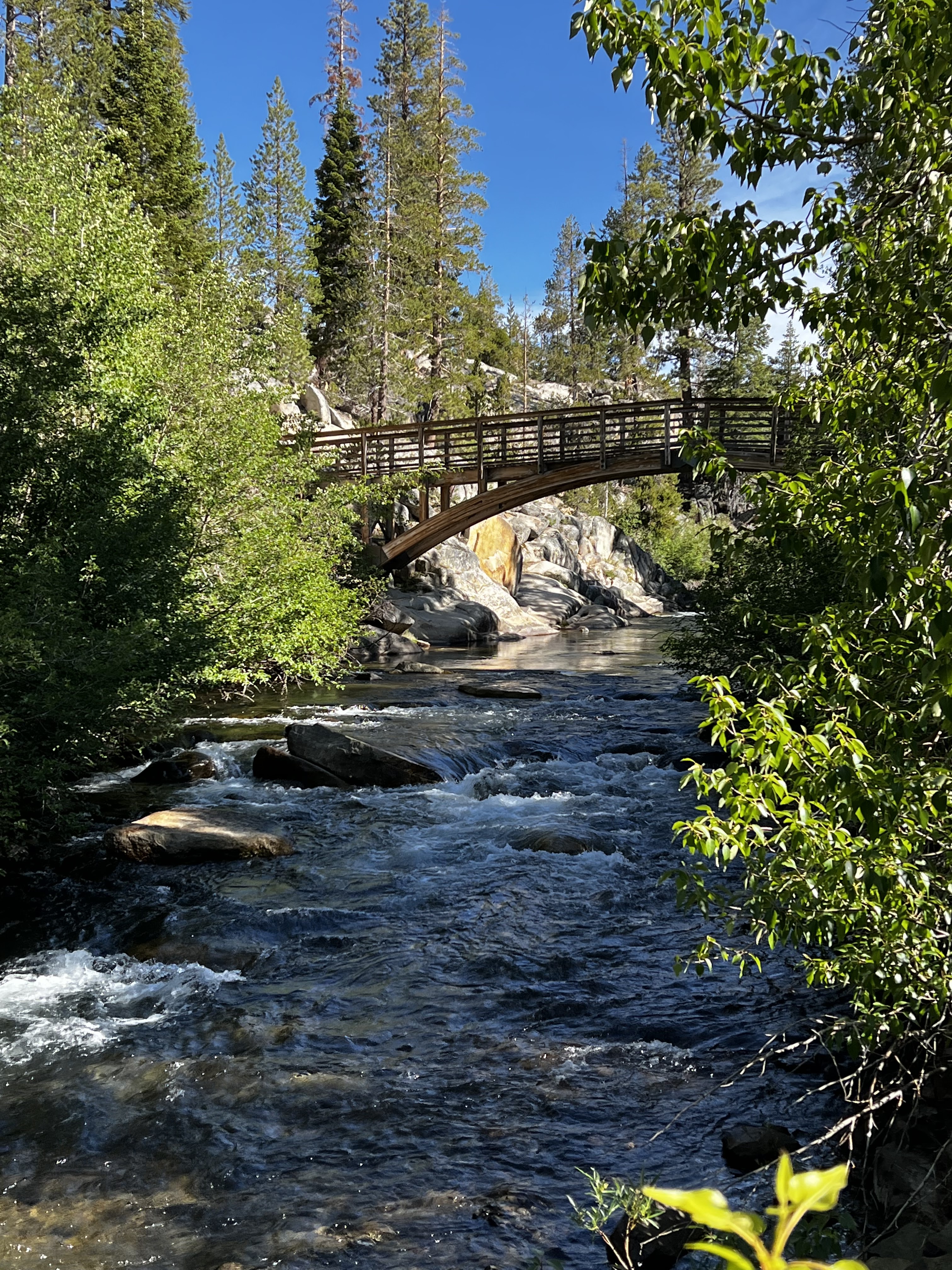
A well designed bridge over the Middle Fork San Joaquin River

Devils Postpile from the PCT (not good lighting conditions) 

After 143 miles the PCT and  JMT split, they will rejoin in about 14 miles

Another well designed bridge over the Middle Fork San Joaquin River

A convenient log crossing over a creek

Scene from the trail

Mount Ritter to the left and Banner Peak to the right, two prominent Yosemite peaks popular with mountaineers and climbers

Minarets with Rosalie Lake

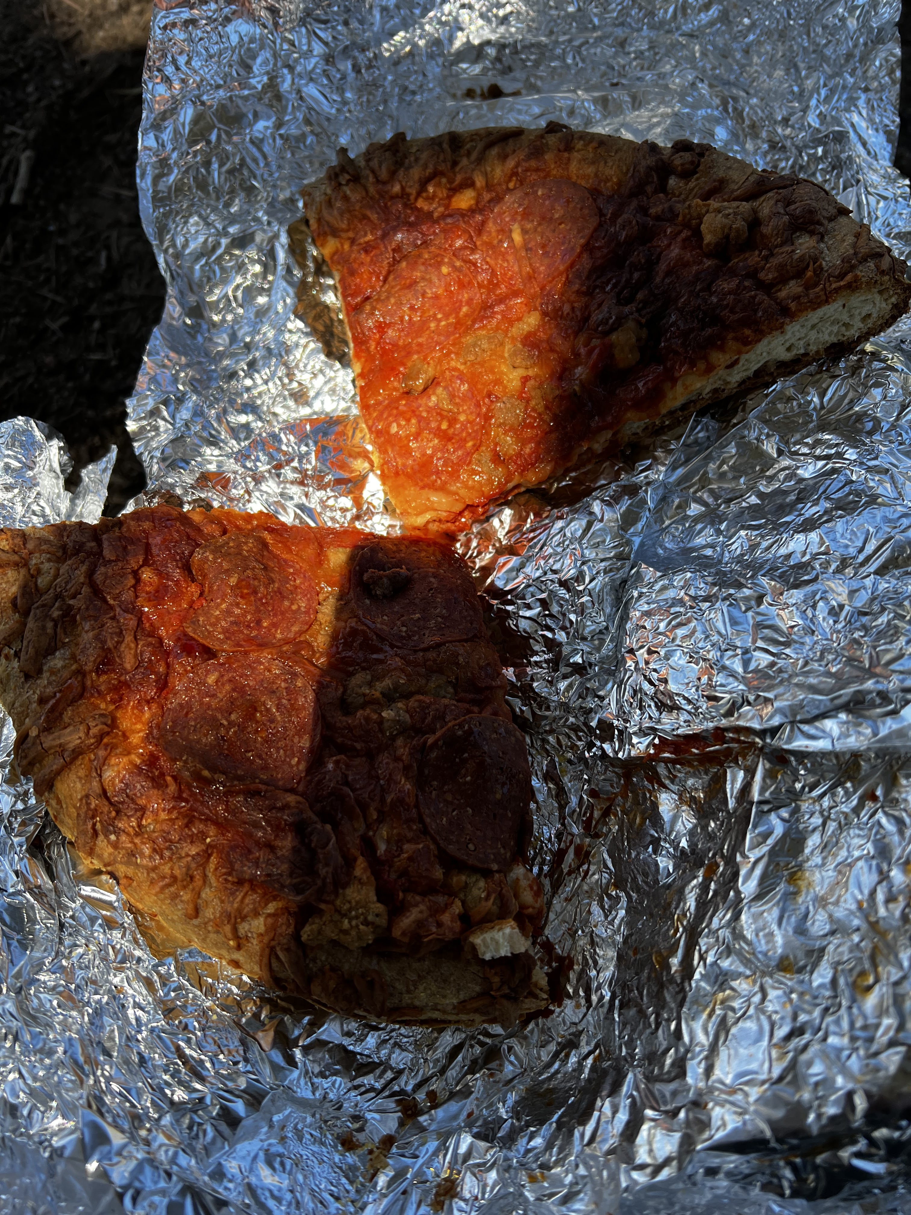
I packed out an entire DiGiorno pizza with me today, I’m eating half for lunch and half for dinner.  My shoulders and hips will be happy when that weight is out of my pack and in my stomach.

Outlet of Thousand Island Lake with Banner Peak

Thousand Island Lake with Banner Peak

Panorama around Thousand Island Lake

A pond above thousand Island Lake

Island pass

Creek near my campsite

 <--PREVIOUS                                                                                                            NEXT-->