Monday, August 1, 2022

PCT Day 75

<--PREVIOUS                                                                                                                NEXT--> 

PCT Day 75, 26 July 2022 (Tuesday)

"A Tents Situation"


Start Location:

Hat Creek

Destination:

Near Hat Creek Rim

PCT Miles Day 75:

23.9

Cum PCT Miles:

1,393.6

Non-PCT Miles Day 75:

2.6

Cum All Miles:

1491.3

PCT Miles Remaining:

1,259.0


Elevation Gain Day 75:

1,785

Cum Elevation Gain:

243,753


The day started with about a seven mile hike to Hwy 44.  From there it is a short side hike to get to Old Station where I planned to get food and drinks and see if I could get a cellular connection to call REI about a tent replacement.  There is a gas station convenience store there that turns out to have a pretty good selection of items for hikers to eat while there and to pack out.

My cell signal teetered between one and two bars.  Just enough to make phone calls and do some patient web browsing.  I ordered a new tent from REI to be delivered in a few days to Shasta City, and will have to send back my old tent for REI to inspect to see if I should get a refund.  I told REI that the Nemo Hornet Elite tent they sold me was not so elite.  This was probably a tad bit unfair as I did really like the tent, but it should have held up for the duration of the hike.  All this took about an hour longer than I’d hoped, but then I was back on the trail.

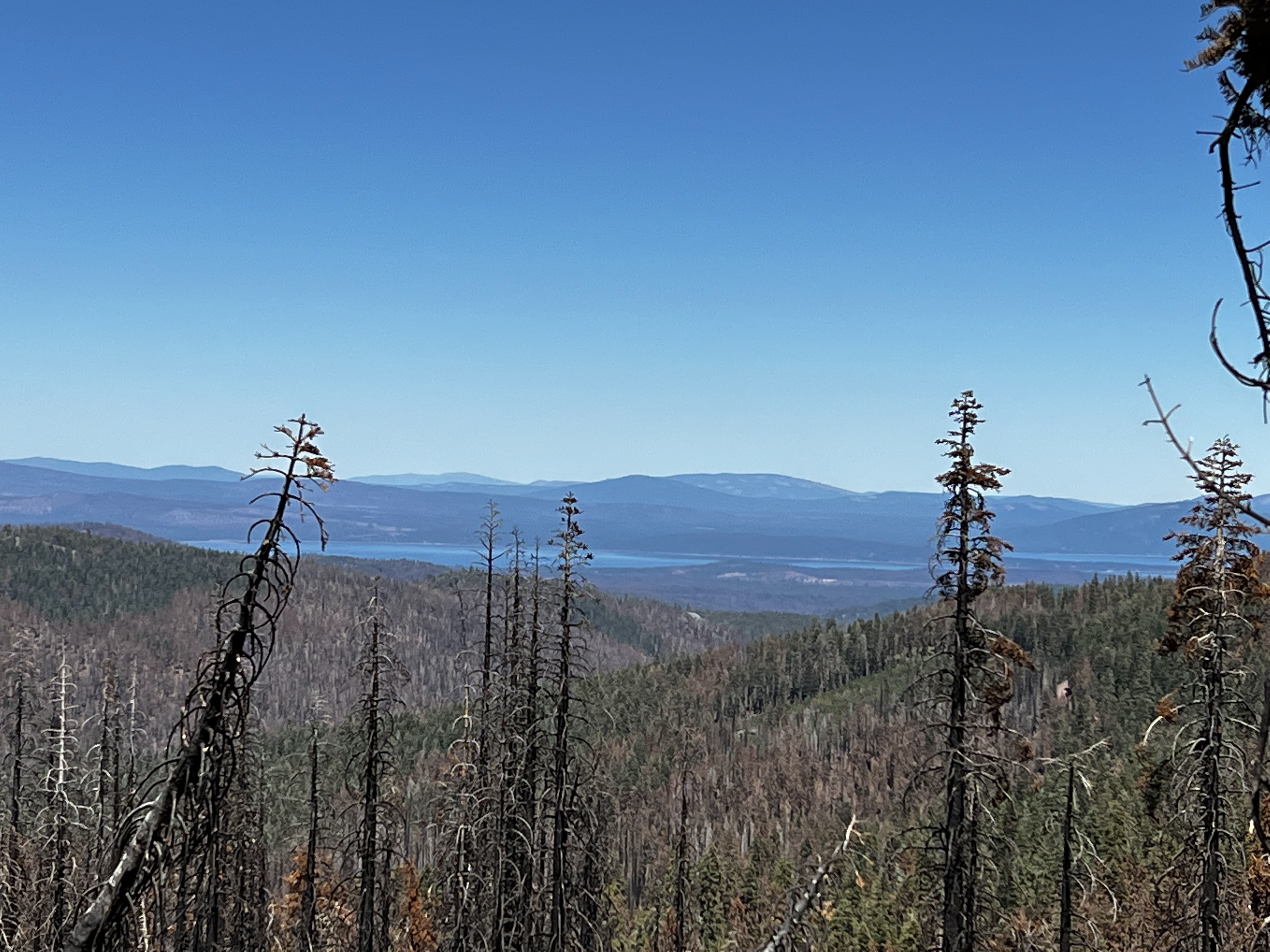
Hat Creek Rim has a name that sounds intriguing, but it also sounds like a place that’s going to be hot and dry.  When I first saw that name, I wondered what this place would look like.  Well, it turns out that it’s somewhat like the rim of the Grand Canyon, except that it’s the rim of the very large Hat Creek Valley.  It’s actually a pretty interesting place, and it was indeed hot and dry.  I ended up camping near a large water tank which is a cache for PCT hikers.

I am making good progress and might be able to get to Burney Falls tomorrow, a half day early.


Yep, only thing missing is the snag hazard


Panorama of Hat Creek Rim


Another different PCT sign


 <--PREVIOUS                                                                                                                NEXT-->


PCT Day 74

<--PREVIOUS                                                                                                             NEXT--> 

PCT Day 74, 25 July 2022 (Monday)

"Today's Lassen Plan"


Start Location:

South of Lassen Volcanic N.P.

Destination:

Hat Creek

PCT Miles Day 74:

24.8

Cum PCT Miles:

1,369.7

Non-PCT Miles Day 74:

0.8

Cum All Miles:

1464.8

PCT Miles Remaining:

1,282.9


Elevation Gain Day 74:

2,486

Cum Elevation Gain:

241,968


Traversing Lassen Volcanic National Park was the main event for today.  The only geothermal feature visible from trail was Boiling Springs Lake, it is actually boiling, you can hear it and smell it.

Most of the day, for the sixth day in a row, was in a burn area, but the last few miles were back in healthy forest.  At first I didn’t really fully realize I was back in the healthy forest, though semi-consciously I did see more green--it's really best to just zone out a bit when hiking so many miles in a burn area.

What really got my attention was the smell of cake batter.  This could only mean one of two things.  One, that somebody was whipping up a huge batch of cake, or two I was walking in a healthy forest of Ponderosa Pines.  I ended up in a great campsite, with the sound of Hat Creek just nearby.


Entering Lassen Volcanic N.P.


What happens when the fire is so hot the tree burns right down through the roots


Well, the crispy, burnt trees don't seem quite out of place in a volcanic park


Boiling Springs Lake, Lassen Volcanic N.P.


Hot Springs Creek


Kings Creek log crossing


Lassen Peak getting larger, or is it just my zoom


Lassen Peak with some younger, green trees


<--PREVIOUS                                                                                                             NEXT--> 

PCT Day 73

<--PREVIOUS                                                                                                                NEXT--> 

PCT Day 73, 24 July 2022 (Sunday)

"Two Packs A Day"


Start Location:

Carter Creek

Destination:

South of Lassen Volcanic N.P.

PCT Miles Day 73:

26.9

Cum PCT Miles:

1,344.9

Non-PCT Miles Day 73:

0.3

Cum All Miles:

1439.2

PCT Miles Remaining:

1,307.7


Elevation Gain Day 73:

4,035

Cum Elevation Gain:

239,482


I’m still in a burn area this morning, and off and on throughout the day.  This is the fifth day in a row hiking through significant burn areas.  Water sources are, also, getting fewer and further between.

I passed the PCT Midway Point marker in the morning.  To play the role Captain Obvious, I have now hiked over half the trail.

A trail angel named OG was serving watermelon at Hwy 36. You can’t go wrong with watermelon, it is always very refreshing.

I don’t know if it was a more recent fire, but the burn areas north of Hwy 36 still smelled of ash and smoke.  At times it felt like I was smoking cigarettes.  For people with asthma it must be unbearable.  I talked to several other hikers who were pretty miserable today.  And to make it worse there was smoke in the air from a new, large fire in Yosemite (I think the Oaks fire).

Although still in a burn area, I ended up at a good tent site atop a cliff with no dead, burnt trees nearby.  However, to spoil the mood my tent got a large rip in it at a crucial spot.  I was able to do a crude emergency repair--is there any other type of repair when backpacking?--using, you guessed it, Gorilla/Duct Tape, but I think the tent is going to have to be replaced.


PCT Midpoint


North Fork of the Feather River a few miles south of Lassen Volcanic N.P.

 
<--PREVIOUS                                                                                                                NEXT--> 


PCT Day 72

<--PREVIOUS                                                                                                             NEXT--> 

PCT Day 72, 23 July 2022 (Saturday)

"Coffee Break"


Start Location:

Myrtle Flat, North of Belden

Destination:

Carter Creek

PCT Miles Day 72:

24.3

Cum PCT Miles:

1,318.0

Non-PCT Miles Day 72:

0.8

Cum All Miles:

1412.0

PCT Miles Remaining:

1,334.6


Elevation Gain Day 72:

5,507

Cum Elevation Gain:

235,447


This is my fourth day hiking in the Dixie Fire burn area.  Unless you see it for yourself, it’s hard to comprehend the scale and severity of these fire devastated wastelands.  It sounds funny to say, but I think no one appreciates the scale of a fire like this more than PCT hikers.  I doubt that even any firefighters walk the burn area from end to end (~150 trail miles).  I don’t know what the timeline is for a landscape like this to recover to a point of even semi-resembling what it used to be, but it has to be at least a couple hundred years.  It’s a weird juxtaposition to see so much clear, cold, running water in areas that are so burnt out.

I finished the long climb out of Belden this morning; another ~seven miles and 3,000 ft.  One thing that won’t disappoint you about the PCT is that when you’re done with one climb, you don’t have to wait very long for the next one.  Today was a lot of ups and downs.

There was a very nice break in the middle of the day, trail magic by Coffee and his girlfriend.  The timing was good given all the up-and-down hiking through the burn area.  Coffee was actually hiking the PCT this year, but had to get off in Yosemite due to plantar fasciitis.  He lives in the area, so he knew where he set up would be a good spot.  It was good stuff, eggs and bacon, fresh fruit, fresh vegetables, cold beverages, and more.  Very nice!

The Sierran area that started north of Tehachapi, ended today near Chips Creek and transitions to the Cascade Range.  That entire segment of the PCT is sometimes referred to as the Sierran Trail.


A nice, healthy seasonal creek amid the devastating backdrop.


Chips Creek with the new bridge. It must've been hard to get across this creek before the bridge was built.


If going northbound, like me, you're starting the transition from the Sierra to the Cascade Range.


If going southbound, you are entering the Sierra.


First look at Lassen Peak


Trail magic by Coffee and his girlfriend (I guess I missed the memo that sun hoodies are the official uniform of PCT thru hikers).


Lake Almanor


Still on the right track
 
 
<--PREVIOUS                                                                                                             NEXT--> 


Sunday, July 31, 2022

PCT Day 71

<--PREVIOUS                                                                                                             NEXT--> 

PCT Day 71, 22 July 2022 (Friday)

“Split Decision”


Start Location:

Silver Lake Junction

Destination:

Myrtle Flat, North of Belden

PCT Miles Day 71:

20.5

Cum PCT Miles:

1,293.7

Non-PCT Miles Day 71:

0.7

Cum All Miles:

1386.9

PCT Miles Remaining:

1,358.9


Elevation Gain Day 71:

3,130

Cum Elevation Gain:

229,940


Today the plan was to get to the Belden Town Resort, pick up my resupply package, do the usual town stuff like laundry and shower, and spend the night there.

However, I started rethinking this plan after taking into consideration that there is a very long, substantial climb getting out of Belden (~5,500 ft. elevation gain over 14 mi).  Also, it is very hot, probably over triple digits.  So, I thought it’d be better to do the climb when the temps were a tad bit cooler.  And if I stayed at the resort, I was going to have to sleep in my tent in their campground.  So, if I was going to sleep in my tent anyway, why not just sleep in my tent on the trail.  So, I decided that it would be best to split the big climb into two parts; part of it this afternoon, and the rest tomorrow morning.


This would mean getting to Belden in the late morning, spending several hours there, and then hike for a few hours in the late afternoon and get a portion of the big climb done.  Then, I would complete the rest of the big climb the next morning.


However, there was a little snafu with my resupply package.  It wasn’t at the Belden Town Resort where it was supposed to be.  The place in La Habra that shipped the package, did not follow the instructions and send it via UPS, they sent it via USPS.  This might not ordinarily seem like a big deal, but in these small towns, it is a big deal.  In many small towns, all the mail gets delivered to the local post office, or authorized postal representative, and that’s where people pick up their mail.  To get packages delivered directly to a specific address in some of these small communities, they need to go via UPS or FedEx.


A bit stymied by no cellular connection and bad Wi-Fi once again, I did ultimately find out that the package was sent to the local post office, located at the Caribou Crossing business, which was about 2 miles down the highway.  Lucky for me, the owner of Caribou Crossing offered to come pick me up and take me back to get my package.   Did I ever mention the trail provides?  While there, I also got some food, including a homemade strawberry shake, did laundry, and took a shower.  Then the owner gave me a ride back to the Belden Town Resort.


So, while I lucked out, all this took longer than I had planned.  But, I still got back out on the trail in the afternoon and did almost half of the big climb out of Belden.  I am glad I decided to hike out this afternoon, but I was not thrilled with my tent site, which is in the middle of burnt trees and very fine, sooty soil.   Camping in regular dirt is one thing, but camping in this stuff is another level of bad.  It was like sleeping in an uncleaned fireplace.


This is my third day of hiking through the remains of the Dixie fire.   It’s almost impossible to find a tent site that’s not surrounded by dead trees that are basically just standing charcoal.  It’s not ideal because the trees can be very dangerous.  In fact, the last two nights I’ve heard branches falling from trees, and I had a branch fall about 30 feet in front of me as I was hiking down to Belden this morning.  It’s just a good thing it has not been windy at night, that would be very bad in an area like this.


The next 9–10 days are logistically tricky.  So, while it’s not my best plan yet, I am going to just hike as many miles as I can for the next week, get food where I can, and see where I’m at.  I don’t know how this is going to work out yet, but based on how things have worked out so far on this hike, I think I’ll be OK.

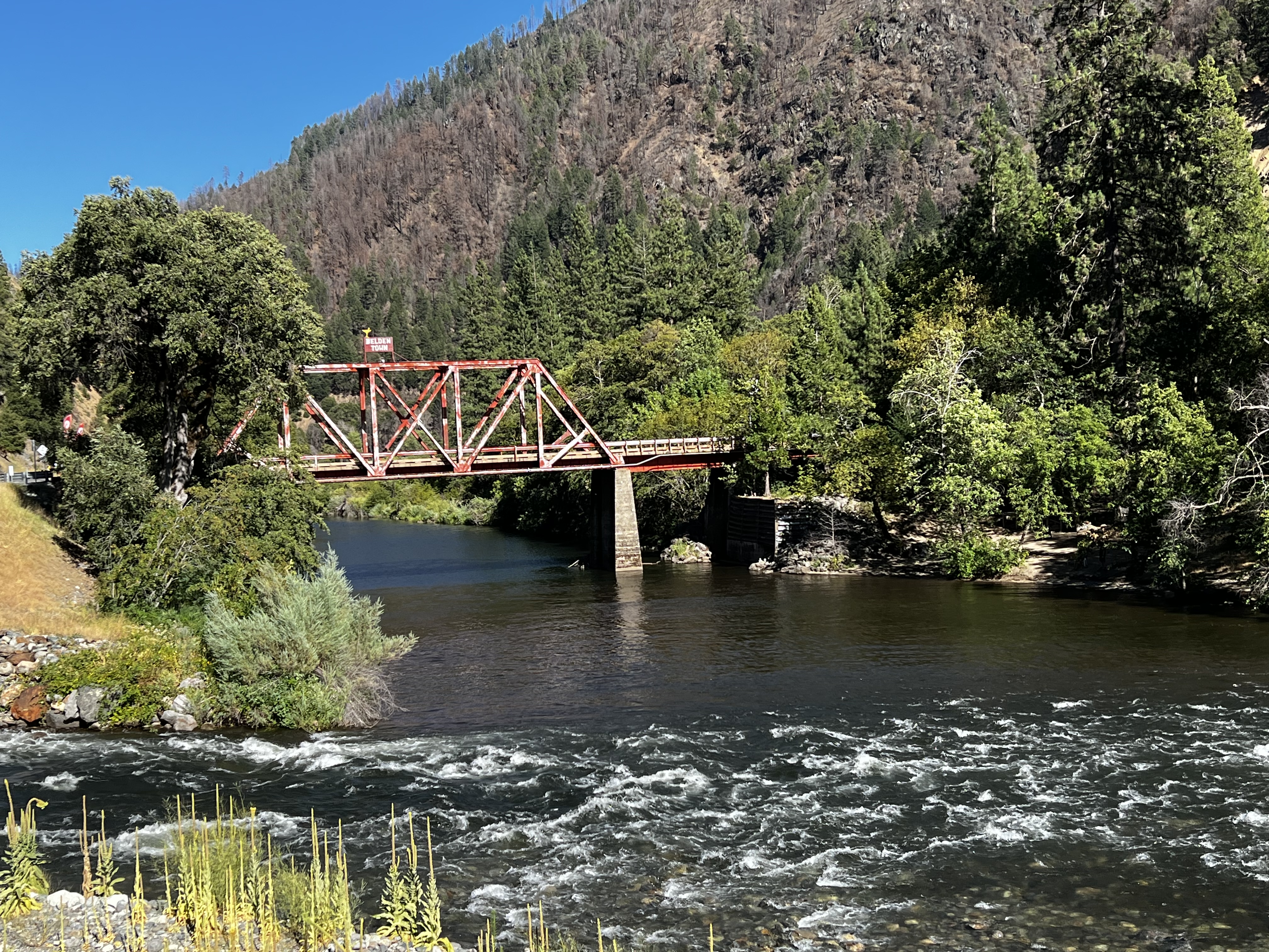
Historic Belden Bridge and North Fork Feather River

Belden Town Resort and North Fork Feather River

 
<--PREVIOUS                                                                                                             NEXT--> 

PCT Day 70

 <--PREVIOUS                                                                                                             NEXT--> 

PCT Day 70, 21 July 2022 (Thursday)

“Looking Very Gnatty”


Start Location:

Wilderness Campsite

Destination:

Silver Lake Junction

PCT Miles Day 70:

26.1

Cum PCT Miles:

1,273.2

Non-PCT Miles Day 70:

0.7

Cum All Miles:

1365.7

PCT Miles Remaining:

1,379.4


Elevation Gain Day 70:

5,724

Cum Elevation Gain:

226,810


Not much to say today. It was very warm, I was pouring water over my head every chance I got.  I was walking in and out of burn areas the first half of the day, and mostly healthy forest the second half of the day.  There were lots of big climbs today, but nothing very memorable.

Where I ended up stopping was kind of a mix between burnt forest and healthy forest.  And I’m not sure why but some of these burn areas seem to attract a lot of gnats and mosquitoes (perhaps healthy vegetation acts as a barrier?).  In fact, the last few miles of the trail today was maybe the most gnats I’ve seen in my life.  It was unavoidable to choose a tentsite in the general area that wasn’t swarming with gnats.  Oh well, the tent site itself was OK, and I managed to get in and out of the tent without any gnats getting in.


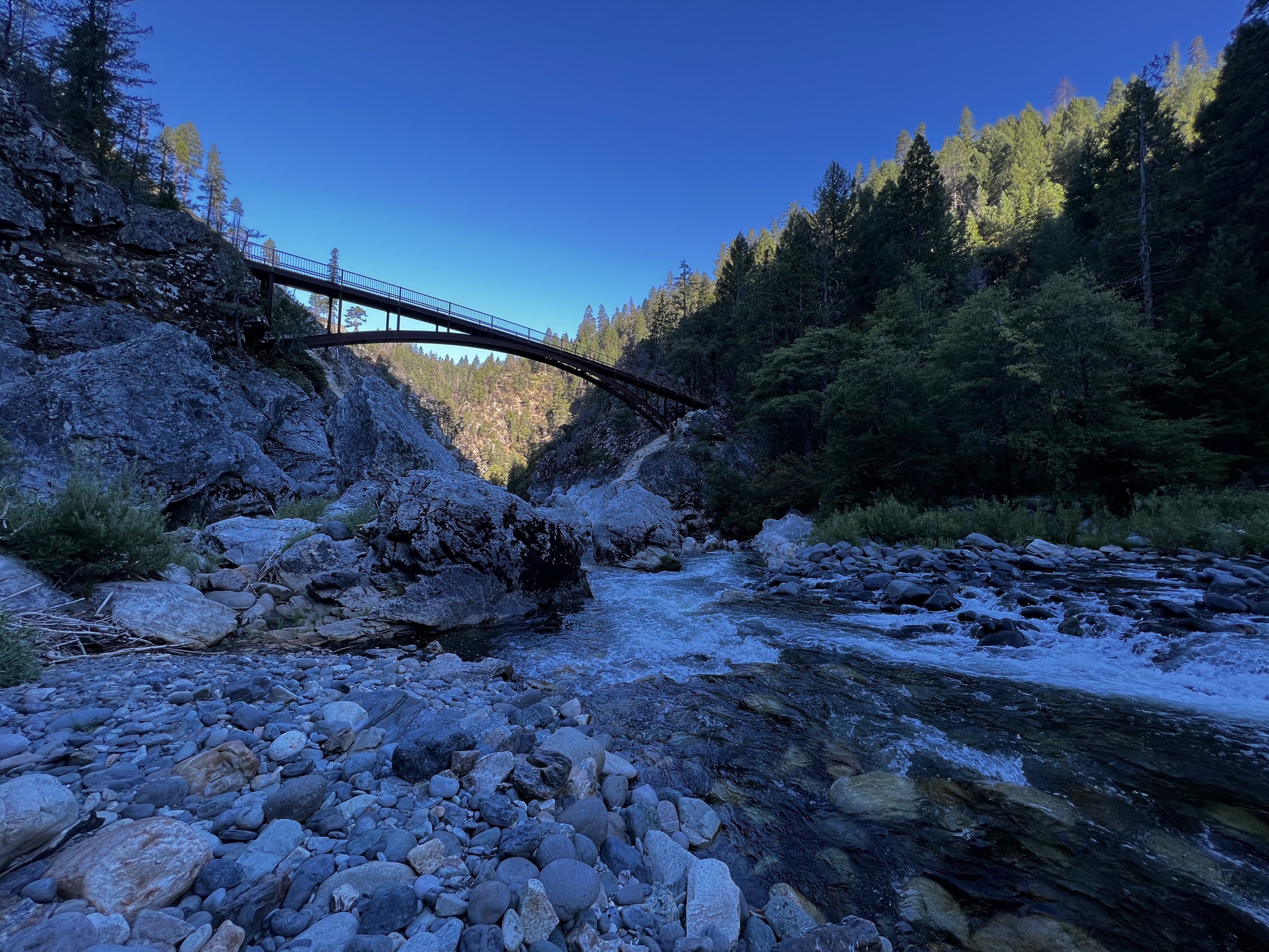
Middle Fork Feather River

Keep your eyes up and open in the burn areas, or you’ll get snagged faster than a cheap zipper

  <--PREVIOUS                                                                                                             NEXT-->